Photo and data credits
We took most of the photos on this website ourselves. The ones below come from Wikimedia Commons; we use them under their licences. Thank you to the authors.
Photos
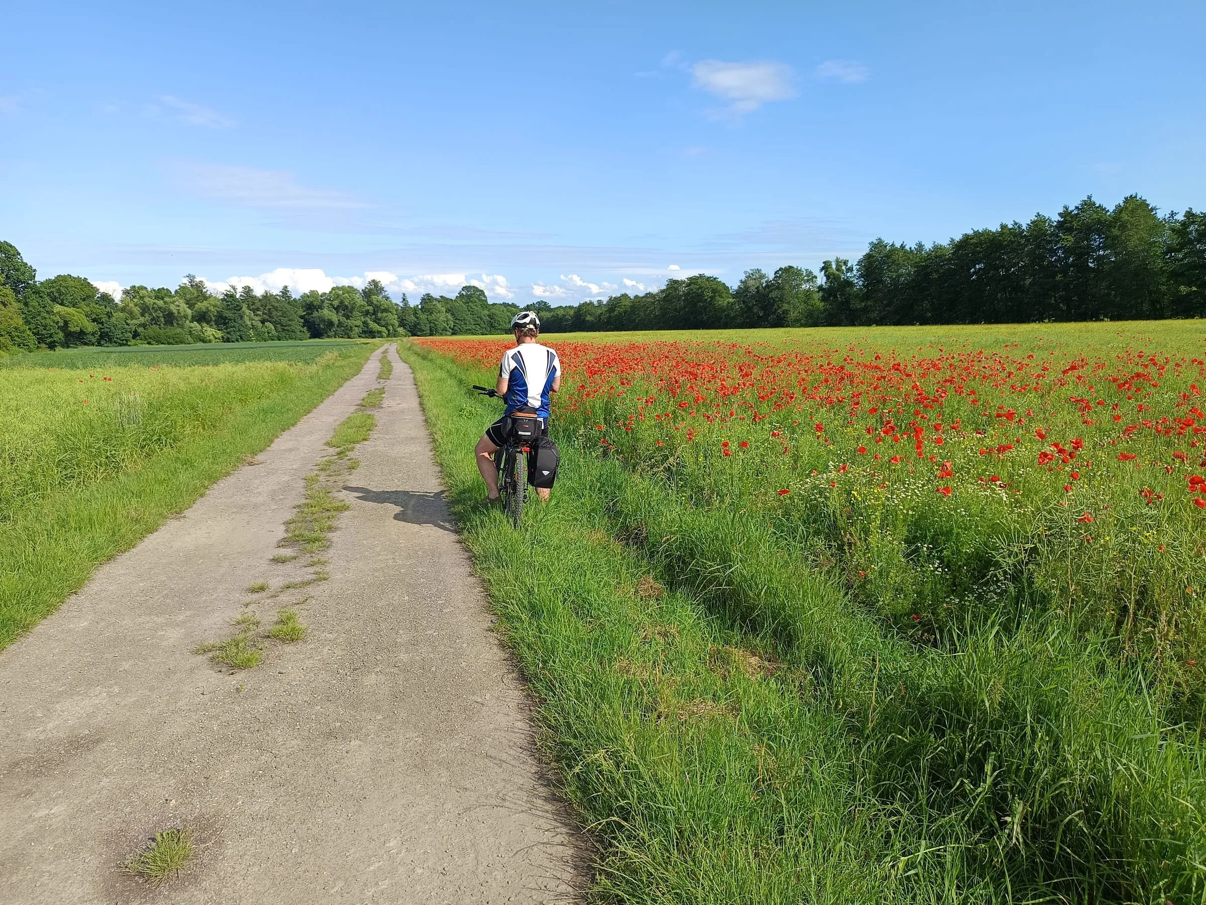
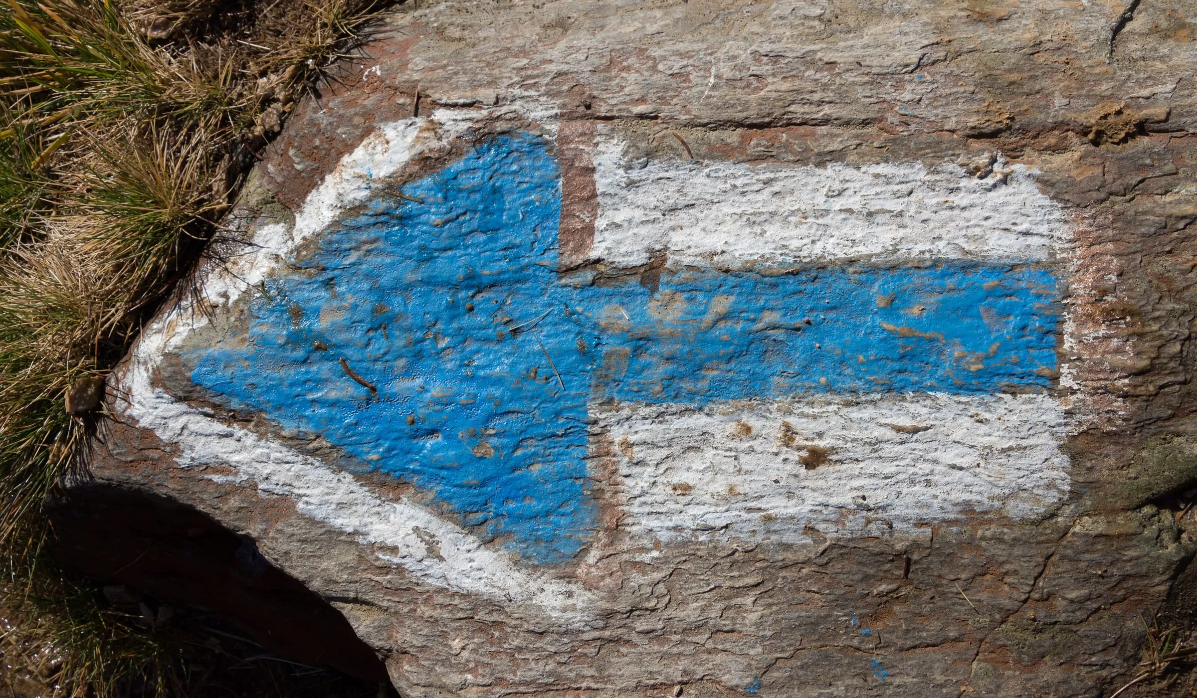


Changes: resized or cropped and re-encoded for the web, and cropped further on the page where needed. We share adapted versions under the same licence as the original.
Catalogue satellite previews
Our international road previews use the 2016 Sentinel-2 mosaic by EOX IT Services GmbH. These images show the route surroundings from a satellite; they are not photographs taken on a drive.
EOxCloudless, EOX IT Services GmbH. Contains modified Copernicus Sentinel data 2016. CC BY 4.0. Changes: cropped to the route surroundings and re-encoded as JPEG.
Map data
The shape of road I/44 over Červenohorské sedlo comes from OpenStreetMap. We fetched it with a single Overpass API query and stored it with the website.
© OpenStreetMap contributors. The data is available under the Open Database License (ODbL). Retrieved: 2026-09-27.
The road shapes and places in the road catalogue come from OpenStreetMap too. How to use and get the data.
Fonts and icons
Geist and Geist Mono (Vercel) and Archivo (Omnibus-Type) under the SIL Open Font License 1.1. A few icons are based on the Lucide set (ISC licence).